

25 May 2026
for Madrid Nuevo Norte



'/%3E%3Cpath fill='%23F71013' d='M133.063 1v5.769L126.337 1h-12.944v5.77L106.667 1H93.723v5.77L86.997 1H73v61h15.937v-5.77L95.663 62h12.944v-5.77l6.726 5.77h12.944v-5.77l6.726 5.77H149V1z'/%3E%3Cpath fill='%23FFF' d='M99 15v9h-2.209v-7.689l-.499 2.109L94.425 24h-2.85l-1.867-5.58-.5-2.07V24H87v-9h3.905l1.61 5.194.485 1.967.485-1.954L95.095 15zM105.818 20.513c0-1.13-.579-1.655-1.81-1.655-1.188 0-1.752.525-1.752 1.655 0 1.104.564 1.63 1.751 1.63 1.232 0 1.811-.526 1.811-1.63zM108 17.135v6.73h-2.256v-1.507c-.416 1.063-1.262 1.642-2.45 1.642-2.122 0-3.294-1.4-3.294-3.487C100 18.4 101.113 17 103.146 17c1.262 0 2.168.592 2.598 1.696v-1.561H108zM114.818 20.352c0-1.183-.579-1.732-1.81-1.732-1.188 0-1.752.55-1.752 1.732 0 1.155.564 1.704 1.751 1.704 1.232 0 1.811-.549 1.811-1.704zM117 14v9.86h-2.256v-1.578c-.416 1.112-1.262 1.718-2.45 1.718-2.121 0-3.294-1.465-3.294-3.648 0-2.211 1.113-3.676 3.146-3.676 1.262 0 2.168.62 2.598 1.775V14H117zM122 17.11v1.943c-.328-.11-.541-.138-.94-.138-.997 0-1.895.496-1.895 2.37V24H117v-6.89h2.165v1.957c.157-1.006.627-2.067 1.966-2.067.228 0 .584 0 .869.11'/%3E%3Cmask id='89zww8pfdd' fill='%23fff'%3E%3Cuse xlink:href='%231de91x7csc'/%3E%3C/mask%3E%3Cpath d='M123.208 24h1.584v-6.685h-1.584V24zM123 15.203c0-.775.354-1.203.99-1.203.645 0 1.01.428 1.01 1.203 0 .802-.365 1.244-1.01 1.244-.636 0-.99-.442-.99-1.244zM131.818 20.352c0-1.183-.579-1.732-1.81-1.732-1.188 0-1.752.55-1.752 1.732 0 1.155.564 1.704 1.751 1.704 1.232 0 1.811-.549 1.811-1.704zM134 14v9.86h-2.256v-1.578c-.416 1.112-1.262 1.718-2.45 1.718-2.122 0-3.294-1.465-3.294-3.648 0-2.211 1.113-3.676 3.146-3.676 1.262 0 2.168.62 2.598 1.775V14H134zM96 27v9h-2.865l-3.382-5.477-.559-1.144V36H87v-9h2.977l3.158 5.104.67 1.26V27zM105 30v6.863h-2.19v-1.551c-.345 1.125-1.094 1.688-2.275 1.688C98.821 37 98 36.026 98 34.008V30h2.19v3.884c0 .838.403 1.222 1.21 1.222.863 0 1.41-.535 1.41-1.77V30H105zM108.216 32.813h2.68c-.014-.982-.435-1.319-1.29-1.319-.856 0-1.277.377-1.39 1.32m4.77 1.332h-4.77c.127.916.576 1.293 1.473 1.293.674 0 .996-.202 1.333-.849l1.824.62c-.477 1.157-1.53 1.79-3.213 1.79-2.174 0-3.633-1.373-3.633-3.446 0-2.127 1.431-3.554 3.563-3.554 2.062 0 3.437 1.373 3.437 3.446 0 .229 0 .404-.014.7' fill='%23FFF' mask='url(%2389zww8pfdd)'/%3E%3Cpath fill='%23FFF' mask='url(%2389zww8pfdd)' d='m120 30-2.72 7h-2.56L112 30h2.399l1.608 5.18 1.595-5.18zM125.765 33.513c0-1.13-.56-1.655-1.765-1.655-1.206 0-1.765.525-1.765 1.655 0 1.104.559 1.63 1.765 1.63s1.765-.526 1.765-1.63m2.235 0c0 2.168-1.823 3.487-4 3.487s-4-1.32-4-3.487c0-2.18 1.823-3.513 4-3.513s4 1.333 4 3.513M96 40v9h-2.865l-3.382-5.477-.559-1.144V49H87v-9h2.977l3.158 5.104.67 1.26V40zM102.765 45.513c0-1.13-.559-1.655-1.765-1.655s-1.765.525-1.765 1.655c0 1.104.559 1.63 1.765 1.63s1.765-.526 1.765-1.63m2.235 0c0 2.168-1.823 3.487-4 3.487s-4-1.32-4-3.487c0-2.18 1.823-3.513 4-3.513s4 1.333 4 3.513M110 42.11v1.943c-.327-.11-.541-.138-.94-.138-.997 0-1.895.496-1.895 2.37V49H105v-6.89h2.165v1.957c.157-1.006.627-2.067 1.966-2.067.228 0 .584 0 .869.11M114.18 43.88v3.264h1.688V49h-1.451c-1.346 0-2.243-.949-2.243-2.372v-2.749H111v-1.856h1.174V40h2.005v2.023H116v1.856h-1.82zM119.216 44.814h2.68c-.014-.983-.435-1.32-1.29-1.32-.856 0-1.277.377-1.39 1.32m4.77 1.332h-4.77c.127.916.576 1.293 1.473 1.293.674 0 .996-.202 1.333-.849l1.824.62c-.477 1.157-1.53 1.79-3.213 1.79-2.174 0-3.633-1.373-3.633-3.446 0-2.127 1.43-3.554 3.563-3.554 2.062 0 3.437 1.373 3.437 3.446 0 .23 0 .404-.014.7'/%3E%3C/g%3E%3C/svg%3E)
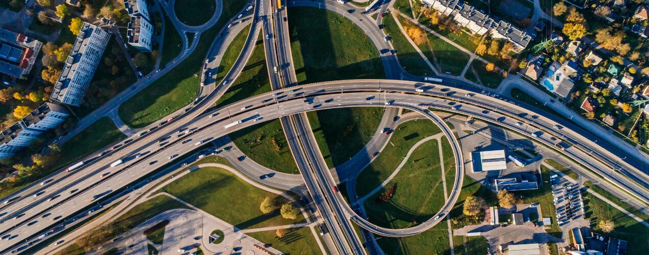
For decades, cities have been planned based on studies and research updated every few years, or projections designed for a distant future. Today, however, many cities are beginning to work with something akin to “a live picture of urban life”. Sensors, digital platforms and analysis systems make it possible to observe what is happening in urban space almost in real time: how traffic moves, when energy consumption peaks, which areas generate the most waste, or how drainage systems respond to heavy rainfall. This is not so much about “smart” cities in an abstract sense, but about better monitored cities, capable of relying on data to understand their own functioning.
This way of understanding the urban environment opens the door to a more dynamic city, one which is more sensitive to what its inhabitants need. A change of scale—from estimation to continuous data—which is transforming the way neighbourhoods, infrastructure and public services are managed. Urban big data has become an essential tool for adjusting resources and reducing environmental impacts, making cities more efficient and, ultimately, making everyday life easier for their inhabitants.
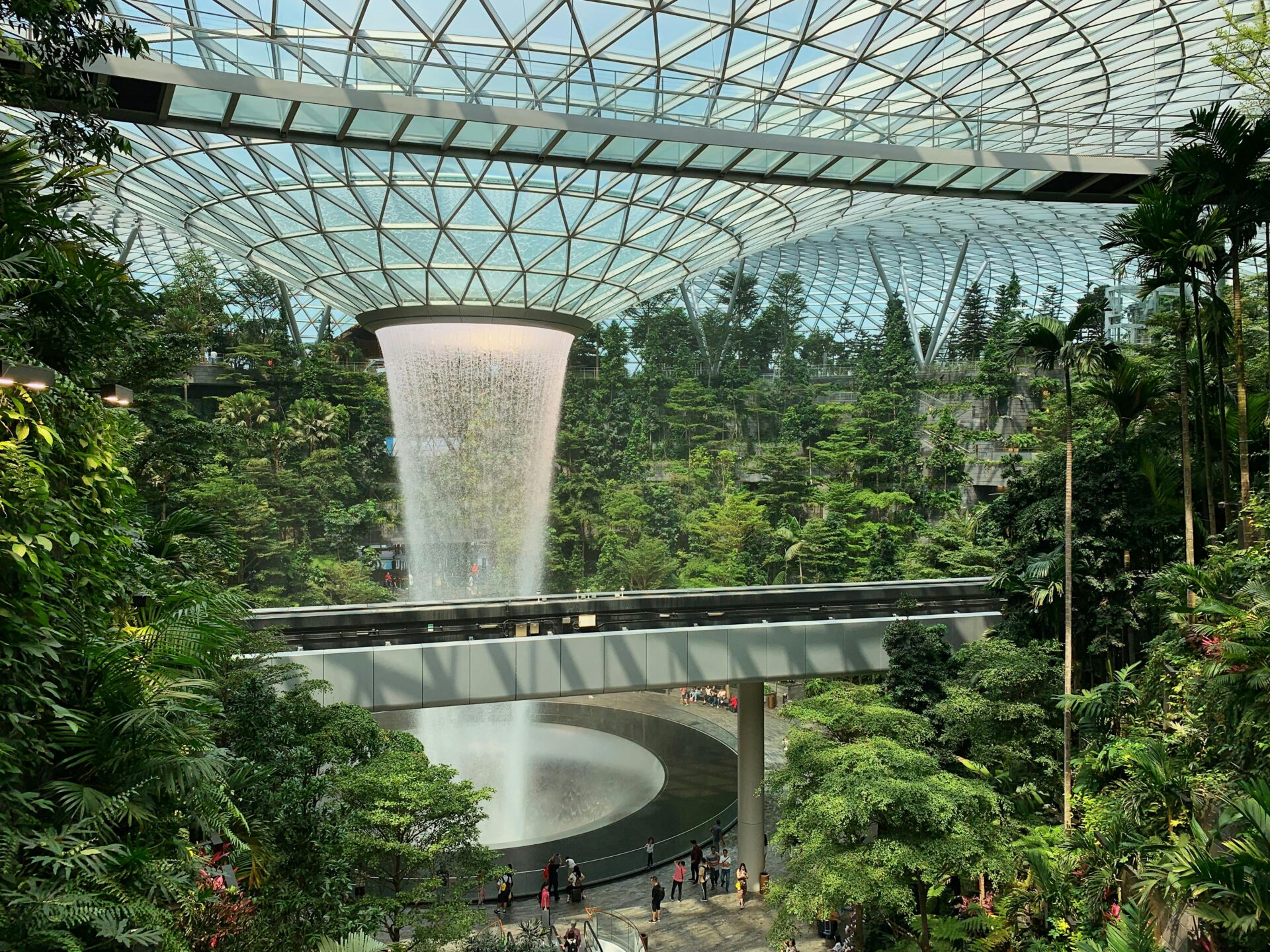
In urban projects of a certain complexity, data collection allows systems which previously operated in isolation to be coordinated. This data feeds digital models capable of simulating scenarios and optimising decisions, transforming cities, neighbourhoods and streets into genuine data centres in constant evolution.
Within this framework, buildings can share information to balance peaks in energy demand or coordinate consumption; lighting networks can adapt to the use of public space; and irrigation systems can respond according to soil moisture rather than fixed schedules, thereby reducing water waste. Digital platforms provide citizens with real-time information on mobility, consumption and environmental quality, encouraging more conscious and active participation.
Far from being a futuristic vision, analytical urban planning is a strategic tool for optimising resources and improving the everyday experience of those who live in the city. One of the most prominent cases is Singapore, where traffic management relies on a dense network of sensors, cameras and smart systems connected to a centralised urban platform. Algorithms continuously analyse vehicle flow, public transport use and incidents on the road network, enabling traffic lights to be adjusted, alternative routes to be recommended or certain services to be reinforced in real time. This dynamic planning not only reduces congestion but also helps lower emissions and makes urban mobility more predictable and efficient.
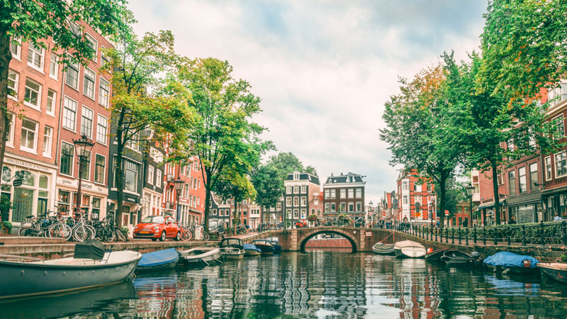
Amsterdam offers another example of how big data is being integrated into areas closely linked to climate change. Sensors distributed across the network of canals, dykes and drainage systems monitor water levels, pressure and quality, while predictive models anticipate episodes of heavy rainfall or flood risks. Thanks to this continuous monitoring of the area, decision-making shifts from reactive to anticipatory, capable of protecting infrastructure, housing and public spaces more effectively. Here, data does not replace physical infrastructure, but it does transform its management.
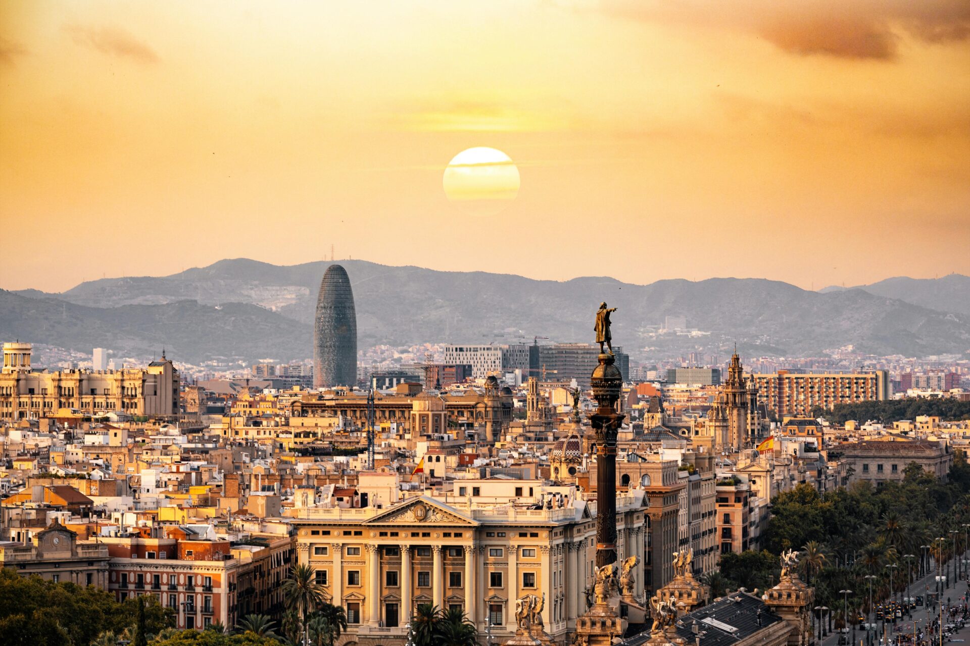
Barcelona is another city where the application of smart technologies serves the circular economy and urban efficiency. The city uses sensors and data analysis systems to adjust the energy consumption of municipal buildings, optimise public lighting according to actual use of space, and adapt waste collection to generation patterns. Added to this is smart parking management using IoT sensors, which reduces unnecessary trips, improves turnover and contributes to smoother, less polluting mobility.
Madrid is also making strong progress in applying big data to urban management. The city is promoting systems based on data analysis and predictive models. Most recently, it announced the creation of a viewer for urban diagnostics, representing the first phase of the future “Strategic City Simulator“. It already brings together 190 urban indicators and 134 datasets from official sources to offer the most comprehensive snapshot of the capital. A tool which makes it possible to analyse the city at multiple scales, detect territorial imbalances and evaluate the potential impact of public policies before they are implemented. With it, Madrid is embarking on data-driven urban planning seeking to anticipate challenges such as housing, mobility and the ecological transition.
To this can be added NEXMO Datahub, a platform promoted by Universidad Carlos III de Madrid which integrates mobility information—from public transport to shared services and urban logistics—to generate advanced analyses, predictions and new smart services. Also noteworthy are EMT Madrid’s data platforms and the smart management of Madrid Calle 30, which help improve mobility planning and optimise the functioning of the road network.
One of the significant changes by big data in the city is the ability to simulate scenarios before making decisions. Mobility analysis tools, such as real-time simulation systems, combine current data with predictive models to test responses to incidents, events or changes in the urban network. This allows mobility scenarios to be anticipated by combining current data with predictive models. In this way, urban control centres can adjust traffic lights, reorganise public transport routes or respond to incidents before they cause congestion.
Together, these technologies transform urban planning into a living, adaptable process. The city thus ceases merely to react to problems and begins to learn from its own functioning, detecting patterns, adjusting behaviours and improving continuously.