6 November 2020
for Madrid Nuevo Norte
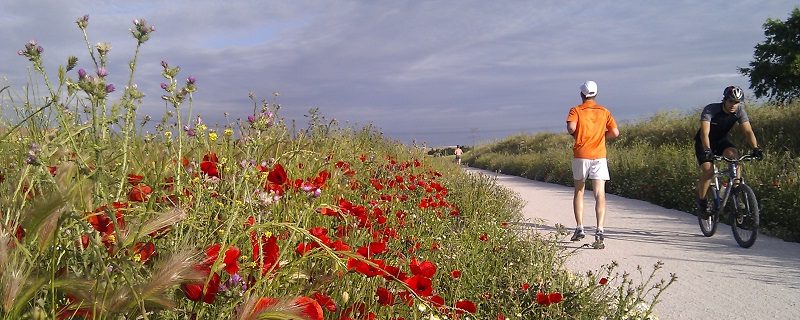
The region of Madrid has about 100 kilometres of disused railway tracks that have been converted into walking and cycling paths.
Since 1993, the Vía Verde project has converted abandoned infrastructures nationwide into sports and leisure facilities for hikers and cyclists, highlighting their cultural and natural heritage value.
The Vía Verde Programme consists of 2,900 kilometres of rural trails nationwide. Over a period of almost three decades, this initiative has given new life to more than 120 disused rail tracks, a rail network scattered across Spain, making them places for people to walk and cycle, practice physical exercise, and admire the landscape, nature and history of the locations and towns through which it passes.
Some tracks are signposted and paved. Several buildings have been renovated to provide services to hikers, while others preserve a more rustic appearance. All of them have in common the charm of the natural settings through which the heritage railway used to run. The Community of Madrid is home to 94.8 km of this national network. This post provides an overview of Madrid’s four greenways: Tajuña, Tren de los 40 Días (40-Day Train), Guadarrama and Alberche. Four routes worth planning a getaway to learn about its history and environmental heritage.
The Vía Verde Programme was launched in 1993 by the Ministry of Public Works, Transport and Environment, with the collaboration of Renfe and FEVE. The Spanish Railways Foundation was mandated to front the project. Since then, the Foundation has been promoting and developing the programme nationally. To date, it has undertaken over 100 studies and projects, published several itinerary guides and produced a documentary series, “Vive la Vía”, just to mention a few educational materials produced to disseminate practical information and help the public enjoy these spaces.
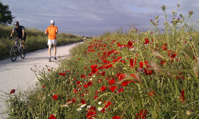
The Guadarrama Greenway runs along the former Madrid-Almorox railway. Image: FFE – Greenways
The Programme is based on a land conservation strategy that focuses on upcycling disused infrastructures to encourage knowledge of nature. An initiative that offers many attractions for the visitor, including practising sports on the nearly flat paths that run along the disused railway lines. The Greenways weave through nature, offering rewarding natural experiences for families, as well as new hikers and cyclists.
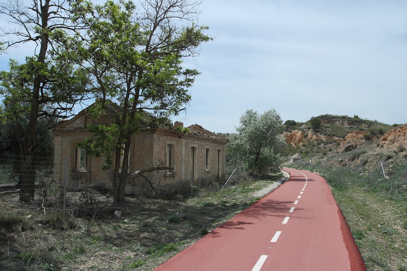
The Tajuña Greenway next to the now-derelict Tajuña station. Image: Malopez21
The popular saying “The train to Arganda is more noise than muscle” referred to this railway that began to operate in 1901, from the defunct Niño Jesús station, next to the Retiro Park. This slow-moving passenger train ceased to run in 1953 with the advent of faster road transport.
The Greenway starts at Arganda del Rey. The rail tracks between Arganda and Ambite have been replaced with red asphalt and compacted soil. This 49-kilometre route, which runs along the Tajuña plain amidst Mediterranean, riparian and pine forests, passes through several towns, including Morata de Tajuña, Perales de Tajuña, Tielmes, Carabaña and Orusco. However, what truly makes its landscape unique are the crystallised gypsum walls that grace both sides of the path for much of the route. Once in Perales de Tajuña, these rock formations rise to stunning heights, creating a ravine pockmarked with over 60 caves were Neolithic settlers lived. The area is known as “Risco de las Cuevas”.
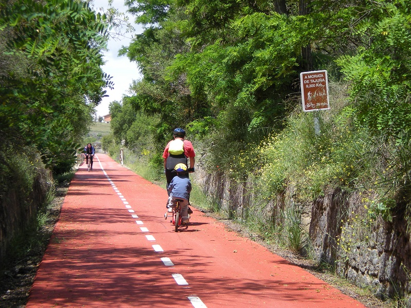
The Tajuña Greenway is especially suitable for family-friendly sports activities. Image: FFE – Greenways
A turnoff near Carabaña on the Tajuña Greenway leads to what is known as the 40-Day Train. This railway was built at a tumultuous period in Spanish history. It was used to supply Madrid with food during the Civil War. It gets its name from the speed with which it was built and put into operation due to the urgency of the situation. It has been argued that the engineers sought to complete the railroad in just 40 days, although it actually took about 100 days, using materials recycled from other railways. The construction works progressed as quickly as its service life was short-lived. It was dismantled in 1940 after the war.
The route runs through the southeast of Madrid, from Carabaña to Estremera, i.e. from the floodplains of the River Tajuña to the River Tagus. The 14-kilometre red, paved path weaves between fields and moorland. Especially notable are the trenches and tunnels built to open the way for the trains.
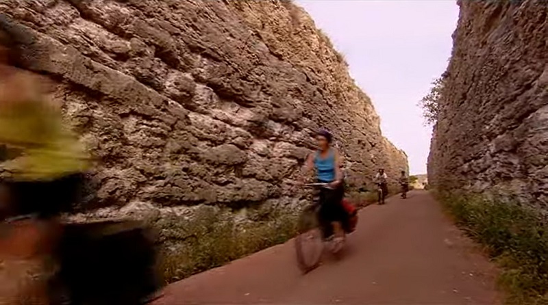
Stunning vertical walls along the 40-Days Train route. Image: FFE – Greenway
This railroad was never completed. The ambitious project initially sought to extend the narrow-gauge railway between Villamanta (Madrid) and Almorox (Toledo) to Plasencia and, even, Salamanca. Several stations and infrastructures were built to that end, but, the plans failed to thrive, and the project was abandoned. Despite this, the line between San Martín de Valdeiglesias and Pelayos de la Presa was opened officially and solemnly in the mid-1930s. A single train, run a single time along its tracks, having arrived at the station by lorry, and immediately driven away again.
The 14-kilometre Greenway starts at San Martín de Valdeiglesias and ends at the Picadas Dam. However, the vast majority of hikers begin their trip at the recreational area near Pelayos de la Presa, next to the San Juan Reservoir, to avoid walking long distances on asphalt. They take the dirt road that is easier to follow, albeit without signs. The route runs through the Picadas Ravine, amidst dense pine and oak forests along the River Alberche. It crosses five overpasses and a tunnel that remind the visitor of its railroad past.
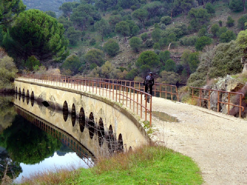
Several bridges cross the River Alberche near the Picadas Reservoir, following the route of the railroad that never came into service. Photo: elblogdemifamiliayotrosanimales.com
This Greenway covers the final kilometres of the railroad that used to run, since 1891, from the now-defunct Goya Station in Madrid, close to the historic Segovia Bridge, to Almorox (Toledo).
The trains on the narrow gauge line from Madrid to Almorox took nearly four hours to complete the journey. The railroad remained in operation until 1970, although the Navalcarnero-Almorox section was closed four years earlier, as it was not economically viable. While in operation, it was used as freight transport, particularly food and building supplies. Madrid’s residents also used it to travel to Alberche in summer for a swim.
The compacted dirt road runs through farmland and riverbanks. It starts near the Móstoles-El Soto train station and runs 5.8 kilometres to Puente de Hierro, a unique, historic and impressive 120-metre long bridge over the River Guadarrama, built in 1890 along with the rest of the railroad.
The Greenway officially ends at the bridge. However, visitors may walk several more kilometres along the railroad to Navalcarnero, albeit on a rough dirt road without signs.
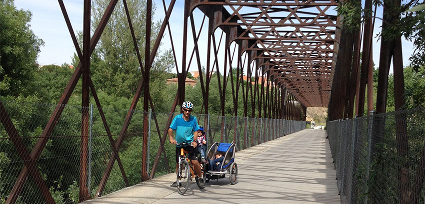
The old, iron bridge over the River Guadarrama is the highlight of its namesake Greenway. Image: FFE – Greenways